
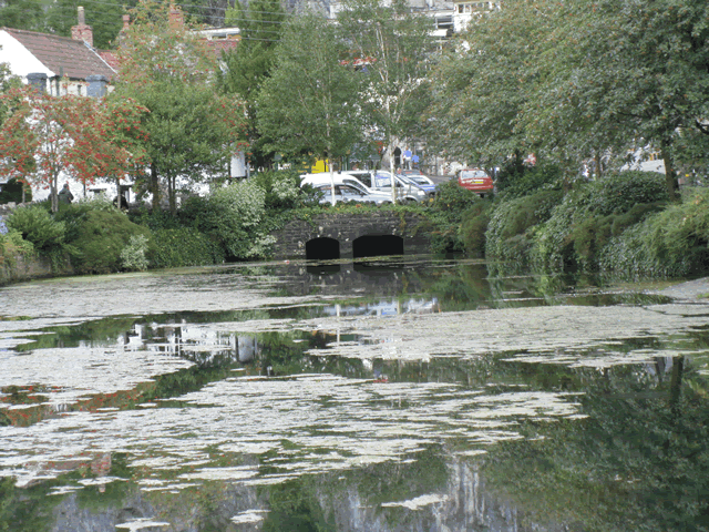
Cheddar Yeo
The Cheddar Yeo starts as a stream at Charterhouse on the top of the Mendips, then disappears into the limestone rock, to appear again out of Gough’s Cave at the lower end of the Cheddar Gorge, from where it makes its way through the lower gorge, through the town, past the Church, then making its way past the old port of Hythe on the Wedmore road, to continue along the flat floodplain, past the ancient port of Rackley near Compton Bishop before joining the river Axe at the base of Crook Peak. From its exit out of Gough’s Cave to its confluence with the River Axe the river flows for a distance of approximately 6.4 miles.
The Mendip Hills conceal the largest underground river system in Britain: the catchment area of the Cheddar Yeo, which rises in Gough’s Cave. The catchment measures 54 sq km.
For an introduction to the underground river system of the mendips read the following: Fact Sheet
The waters of the Cheddar Yeo also feed Cheddar Reservoir which was built between 1933 – 37 by McAlpine for the Bristol Water Company. Constructed on a flat moor below the Mendip Hills, this reservoir covers 250 acres and is capable of holding six billion litres of water. Around 250 men worked on the project which included construction of a 4km long cut-off trench designed to limit loss of water from the reservoir. A huge featof engineering, the trench, which was 2m wide and up to 20m deep, was excavated mainly by hand using pneumatic drills and spades (1)
References: 1. Sir Robert McAlpine – A Portrait of Achievement
Image Gallery River Map Structures