
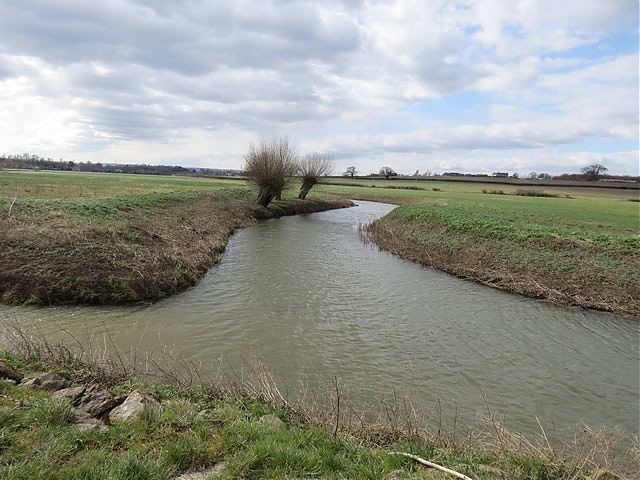
Westport Canal
The Westport Canal was completed in 1840 as part of the the 1836 and 1839 Acts for the navigation of the River Parrett. Prior to 1836 there was substantial barge traffic on the River Parrett from Bridgwater to Langport and when conditions permitted further upstream. As a result of the Langport riverhead the town was prosperous and when in 1834 an act was passed to construct a canal from Taunton to Chard, local business men feared an impact in the amount of barge traffic to Langport. The condition of the Parrett at that time was causing delays to barge traffic and after discussion they applied for an act to make the River Parrett navigable between Burrowbridge and Thorney, below Langport, and also a one mile section of the River Isle from its join with the Parrett at Muchelney to just West of Midelney. From here a 2.25 mile channel was cut to Westport to form the Westport Canal. At Westport, a basin and wharves were built. The engineer for the project was William Gravatt who had acted as assistant to Brunel on the Bristol & Exeter Railway.
The Chard Canal was completed approximately 18 months later and in its first year of trading had an immediate impact on tolls taken by the Parrett Navigation – income in the first year of the Chard Canal operation fell by almost 75%. Tonnage figures suggest that for the year 1843, tonnage carried to Westport was 15000 tons.
The completion of the Yeovil to Durstan railway line in 1853 also had a significant impact on toll income with coal brought in by rail from the Radstock Mines being much cheaper than the Welsh coal carried by barges from Bridgwater. With ever decreasing income the Parrett Navigation Company struggled on until 1878 when responsibility for the navigation was taken over by the commissioners of the new drainage authority and the navigation was abandoned at the end of 1880.
The West Moor Main Drain was once fed from the Westport Canal via a culvert, however, the Canal now holds very little water (it is penned at Middlemoor Bridge) and the culvert is redundant. In flood conditions, overspill from the Canal still feeds the West Moor. Water management in the West Moor catchment is ultimately provided by the Midelney Pumping Station.
Image Gallery Canal Map Structures