
Mark Yeo River
The Mark Yeo is part of the waterway called the Pilrow Cut that once linked the River Brue with the River Axe. The waterway, constructed to provide a transportation link between Glastonbury Abbey and Rooks Bridge, was in existence in the 13th century. Rooks Bridge was connected to the small port of Rackley on the river Axe Nr Loxton.
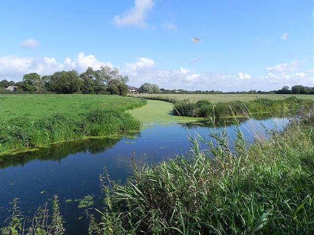
Today the waterway is used for drainage and has no direct connection with the river Brue. The waterway starts its journey approximately 100 metres from the North Drain and 300 metres from its original starting point of Lichlake on Tealham Moor. The waters flow in a generally north westerly direction for approximately 2.5 miles to Mark, through first the Old Yeo and then the Yarrow Yeo channels. At Mark, where it becomes the Mark Yeo, it flows beneath Mark Iron Bridge, constructed in 1824, the oldest iron bridge in Somerset.
From Mark the flow takes a northerly direction for just under 2 miles before turning north west and then north again to reach Rooks Bridge, the journey to Rooks Bridge is approximately 5.4 miles. Around 1995 signs of a medieval wharf were found during river cleaning just north of York Farm in a field called ‘Scott’s wharf’ at a site where the Mark-Yeo used to join the old river Axe.
The flow continues to the join with the Old River Axe and then turns north west to flow beneath the M5 Motorway on through meandering channels to its join with the River Axe. The approximate distance from the River Brue to the River Axe is just under 8 miles.
References: Waterways and Water Transport on Reclaimed Coastal Marshlands: The Somerset Levels and Beyond by Stephen Rippon