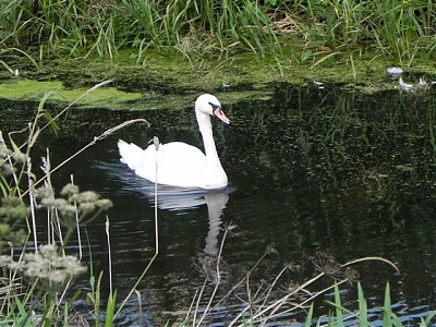
South Drain
The South Drain starts from the Actis Tunnel which takes Read Mead Rhyne beneath the Glastonbury Mill Stream and the river Brue. near to Clyce Hole. It flows south to the Street area and then flows in a generally north westerly direction beneath the A39 just south of Pomparles Bridge. Flowing through Hulk Moor beneath Sharpham Drove Bridge and Sharpham Lane Bridge it turns north between Ashcott Heath and Walcot Heath to Ashcott Rail Bridge where waters from the old Glastonbury Canal join. Turning west it flows through Shapwick Heath Natural Nature Reserve.

The flow continues passing beneath Shapwick Road Bridge and the old Somerset and Dorset Railway Bridge to Catcott Bridge. Its journey continues to Edgington Bridge, Chilton Moor Bridge and West Bridge before reaching Gold Corner where the pumping station moves the water into Huntspill River.The approximate length of the South Drain is 9.4 miles.
Constructed between 1802 and 1806 as part of the works associated with the Brue Drainage Act of 1801. The outflow was via the Brue at Cripps Bridge. The drain proved to be ineffective due to the water levels in the Brue being at a higher level when the river was in spate, consequently despite all the work the moors were still flooded and this remained the case for the next 140 years.
It was not until the construction of the Huntspill River in the 1940’s, which provided the drain with a direct outlet to the sea, that the drain became effective and was able to do the work of its original design and almost entirely eliminate the flooding in the southern part of the Brue valley.
References: The Draining of the Somerset Levels � Michael Williams
Image Gallery River Map Structures
