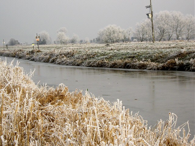
Sowy River
The River Sowy is a man made embanked flood relief channel that runs from Monks Leaze clyce, just short of a mile north west of Langport River bridge, to the Kings Sedgemoor Drain. Approximately 7.5 miles in length, it flows for approximately 1.5 miles in a westerly direction to Oath, to the north of the embankment which seperates it from the River Parrett, this embankment carries the River Parrett Trail. At Oath the direction changes to a north westerly flow for approximately 1 mile to Stathe, where the flow changes to the north for a further 0.5 miles. Just north of Stathe the River Parrett turns to the west, whilst the Sowy River continues in a north westerly direction to flow beneath Pathe bridge carrying the Aller Drove. The rivers journey to Pathe is approximately 3.5 miles. After a further mile the river reaches Beer Wall to the east of Othery. After one mile the flow changes to a north westerly direction for a further 1.8 miles to reach its confluence with the Kings Sedgemoor Drain. From Stathe to the Kings Sedgemoor Drain, the Langacre Rhyne flows parallel to the east of the Sowy.

Construction of the river commenced in the mid 1960’s with completion in 1972 and was designed to relieve the flooding of the River Parrett at Langport and Aller Moor. A pilot scheme to test the feasability of passing water from the Parrett to the Kings Sedgemoor Drain was undertaken in 1951 with the construction of the Langacre Rhyne. This followed the lines of a similar relief channel recommended in 1853. After the floods of 1960 a new scheme was proposed but rejected as being too costly. However a revised scheme, the existing Sowy River, was approved in 1963.1
References: 1. The Draining of the Somerset Levels – Michael Williams
Image Gallery River Map Structures
