
Brue Bridge
|
|
||||
 |
||||
| Bridge Name: | Brue Bridge | |||
| No.: | 47 | |||
| Location: | Highbridge | |||
| Build Date: | ||||
| Engineer: | ||||
|
© Copyright somersetrivers.org |
||||
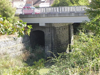
| Description: | ||||
| There was a bridge across the Brue at Highbridge in the 13th century and certainly by the 15th century it included doors as a defence against the tidal waters
King Richard III is said to have written c.1483-5 to Thomas Tremayll that he was informed that “Highbridge in our county of Somerset which was a grete defense of the salt water and also a common highway to all our liege people passing by the same is nowe by the grete rage and tempest of the water and also for noone repayring thereof broken and fallen to grete decay soo that gret substance of the countrey thereabout as wele diverse our lordships and manors adjoyning to the same as thinheritance of diverse our subjectes be surflowed and likely to be fynally destroyed and desolate to ours and there grete hurt unlesse the said brigg be repaired” In 1710 the Court of Quarter Sessions ordered the Commissioners of Sewers to carry out repairs after it was reported that the bridge had “become very ruinous & in great decay & that by reason of the decayes & disrepaires thereof a Great Tract of Land in the said County lyeinge neere the said Bridge is in imminent danger of an Inundation from the Seas and very likely to be subiected to very much damage & spoile…” Collinson in his History of Somerset quotes Locke (a local surveyor) as saying “The river Brent [Brew] over which is the no less strong than famous Dam called Highbridge said to have been built in the reign of Henry the 8 and by means of Flood Hatches forced fast by the head of the tide hinders the salt water from flowing up the flat. On one side of this famous bridge the highest spring tide flows twenty three feet but on the other side the freshwater by having its progress stopt rises only about eight feet. This fifteen feet difference in the height of the water from the east to the west side of the bridge astonishes the traveller especially when he views ships of upwards of one hundred tons burthen riding within a few yards of the turnpike road with their keels nearly level with it and on the other side the river scarcely navigable in the summer for a canoe.�1 In 1802, to improve the defences against the tidal waters, a new bridge and clyce were built across a new cut some 150 metres south of the then existing channel. The old channel was used as a tidal wharf for transportation of goods by river to Glastonbury, and in 1933 the Glastonbury Canal opened using this same tidal wharf entered by a tidal lock on the site of the old bridge.2 |
||||
| References: | 1. Somerset HER Ref: 10279 2. British History Online compid=15110 |
|||